


Industry news


View: 282

Release time:2026-04-17
Installing a map-shaped LED display—such as a country outline, world map, or regional contour—in an airport is entirely achievable. In fact, the industry already supports this with mature solutions. However, this type of project sits at the intersection of creative design, engineering complexity, and strict compliance. To execute it well, you must align four key dimensions: technology, structure, regulations, and content.
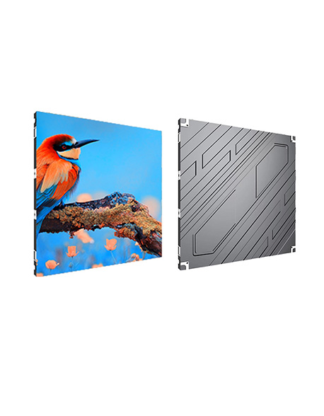
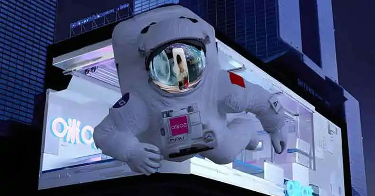
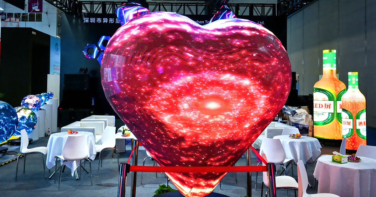
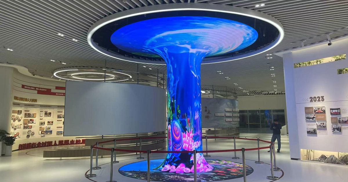
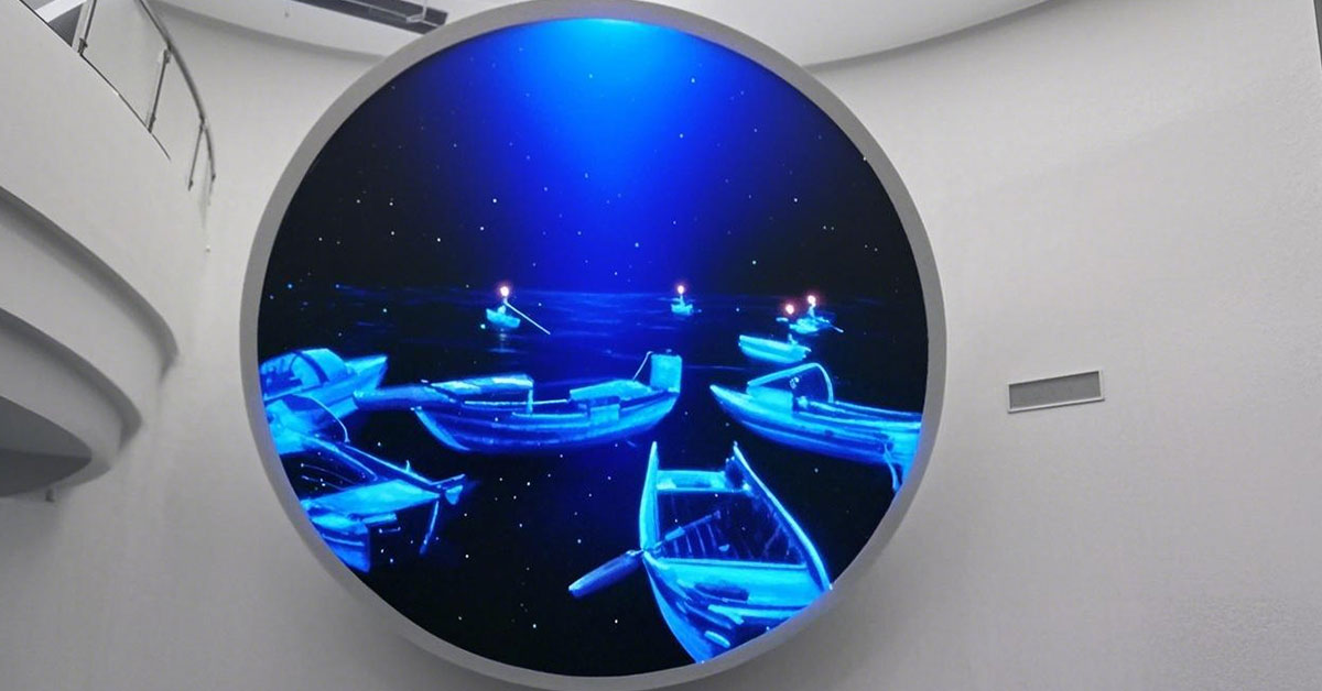
Modern LED systems can accurately reproduce complex geographic shapes and fine details.
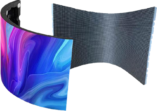
Flexible LED modules and small-format modules (≤160×160 mm) allow precise contour fitting
Custom fan-shaped or triangular modules help replicate coastlines, borders, and islands
Non-linear pixel mapping ensures content fits complex outlines
3D spatial calibration aligns visuals across uneven surfaces
Pixel-level brightness and color correction prevents distortion or visible segmentation
Manufacturers can divide the map into multiple irregular cabinets
Factory pre-fabrication + on-site assembly ensures high precision (up to ±0.5 mm)
Airports benefit significantly from map-shaped LED displays because they combine visual impact with functional value.
A map naturally draws attention, making it ideal for:
Airport navigation hubs
Route network visualization
City branding and tourism promotion
You can combine multiple use cases in one display:
Core functions: flight info, terminal zoning, transfer guidance
Value-added content: city attractions, airline routes, animated visuals, seasonal themes
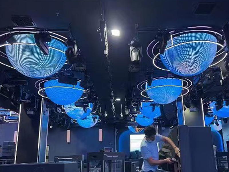
These displays can adapt to various airport spaces:
Wall-mounted
Suspended
Floor-standing
Column-wrapped
Semi-transparent installations
Suitable for halls, corridors, arrival areas, and duty-free zones.
Irregular shapes introduce uneven load distribution and complex stress points.
Key requirements:
Perform 3D structural analysis (wind load, seismic resistance, impact resistance)
Reinforce complex edges and corners
Recommended solution:
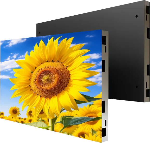
Lightweight cabinets (≤15 kg/m²)
Hot-dip galvanized steel structure
Dual safety suspension points (redundant rigging)
Airports enforce strict safety standards.
You must ensure:
B1-rated flame-retardant materials
Low-smoke, halogen-free cables
At least 600 mm maintenance clearance
No obstruction of fire hydrants, sprinklers, or evacuation signage
Standard content will not fit a map-shaped display correctly.
Solution:
Redesign text (city names, regions, routes) for curved or angled surfaces
Use irregular video processors for pixel mapping and scaling
Ensure labels and borders remain legible and undistorted
Airports require continuous, stable operation. Therefore, reliability design is essential.
Suspended installations → front maintenance (magnetic modules)
Wall-mounted or floor-standing → rear access channels
Dual power supply
Dual signal backup
Hot-swappable components
This ensures that a single failure does not affect large areas.
Environmental adaptation
Airport interiors typically maintain:
Temperature: 18–28°C
Humidity: 30–60%
To match this environment, the display should include:
Dust protection
Anti-static design
Anti-glare treatment
A custom LED map display in an airport is not just a visual feature—it is a high-value, multi-functional system. When you properly integrate:
Mature shaping technology
Robust structural engineering
Strict compliance standards
Tailored content design
—you can deliver a display that is both visually striking and operationally reliable.
In short:
It’s not just about making a map—it’s about making it safe, precise, and meaningful in a high-demand environment like an airport.
 +86 18688923792
  andy@tosled.com